Gateways by Knells Farm
Introduction
The photograph on this page of Gateways by Knells Farm by Adrian Taylor as part of the Geograph project.
The Geograph project started in 2005 with the aim of publishing, organising and preserving representative images for every square kilometre of Great Britain, Ireland and the Isle of Man.

There are currently over 7.5m images from over 14,400 individuals and you can help contribute to the project by visiting https://www.geograph.org.uk
Gateways by Knells Farm
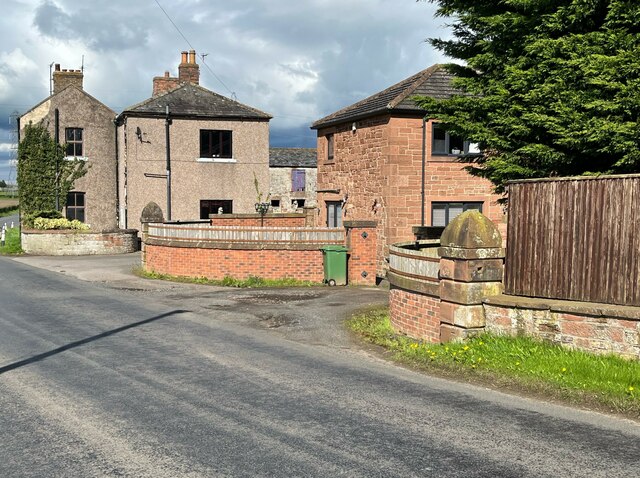
Image: © Adrian Taylor Taken: 1 May 2023
The two stone capped ornamental gateposts were installed either side of one of the entrances to Knells House, now serving as an access to some cottages. There is an Ordnance Survey cut benchmark on the base of the nearer of the two posts (detail photograph Image).
Images are licensed for reuse under creativecommons.org/licenses/by-sa/2.0
Image Location
Latitude
54.937863
Longitude
-2.917131