Princes Street, Thurso
Introduction
The photograph on this page of Princes Street, Thurso by Malc McDonald as part of the Geograph project.
The Geograph project started in 2005 with the aim of publishing, organising and preserving representative images for every square kilometre of Great Britain, Ireland and the Isle of Man.

There are currently over 7.5m images from over 14,400 individuals and you can help contribute to the project by visiting https://www.geograph.org.uk
Princes Street, Thurso
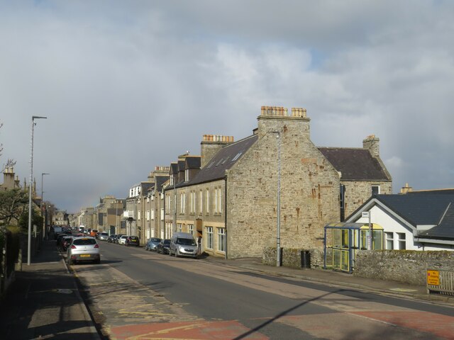
Image: © Malc McDonald Taken: 26 Apr 2023
Princes Street in Thurso leads from the railway station into the town centre. It is on the route of the B874 road, and also on route 1 of the National Cycle Network.
Images are licensed for reuse under creativecommons.org/licenses/by-sa/2.0
Image Location
Latitude
58.591357
Longitude
-3.526395