New housing development at Bournmoor
Introduction
The photograph on this page of New housing development at Bournmoor by Trevor Littlewood as part of the Geograph project.
The Geograph project started in 2005 with the aim of publishing, organising and preserving representative images for every square kilometre of Great Britain, Ireland and the Isle of Man.

There are currently over 7.5m images from over 14,400 individuals and you can help contribute to the project by visiting https://www.geograph.org.uk
New housing development at Bournmoor
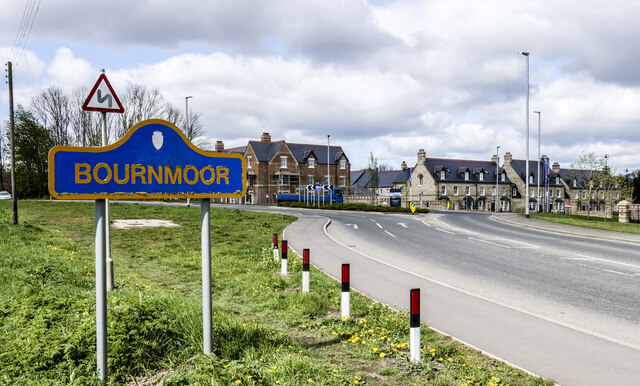
Image: © Trevor Littlewood Taken: 25 Apr 2023
Bournmoor is a village in County Durham closely associated with the Lambton estate. The road passing the village sign is the A183 beyond which is new housing development on land of the Lambton estate.
Images are licensed for reuse under creativecommons.org/licenses/by-sa/2.0
Image Location
Latitude
54.859488
Longitude
-1.517054