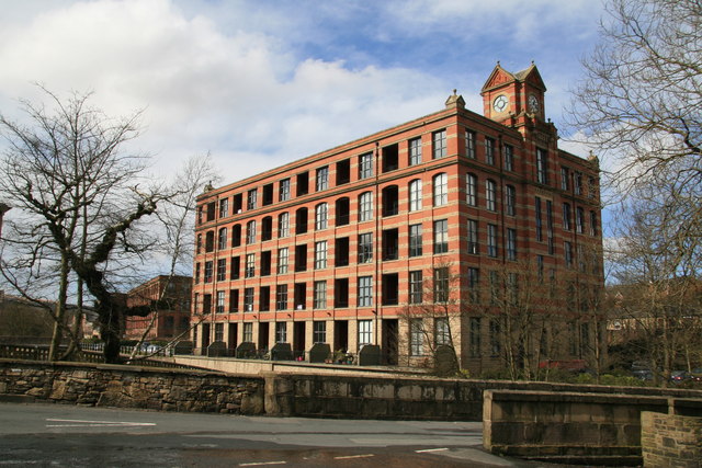
Eagley Mills
Introduction
The photograph on this page of Eagley Mills by Chris Allen as part of the Geograph project.
The Geograph project started in 2005 with the aim of publishing, organising and preserving representative images for every square kilometre of Great Britain, Ireland and the Isle of Man.
There are currently over 7.5m images from over 14,400 individuals and you can help contribute to the project by visiting https://www.geograph.org.uk

Image: © Chris Allen Taken: 30 Mar 2008
Two impressive multi-storey mill blocks have been converted to housing and there is a small stone block on the opposite side of the river that may be part of a third. Then you see a 1920 aerial photo with five major mill blocks and associated chimneys. This is an impressive complex nonetheless and I wish I had seen it before conversion. This faintly reminds me of pictures of some of the US conversions - mainly New England. I spent most of this day looking at mill conversions in Lancashire. The one that wasn't (Edenwood Mill, Stubbins) is likely to be converted in the future.

