Living Well Church, Canterbury Road
Introduction
The photograph on this page of Living Well Church, Canterbury Road by John Baker as part of the Geograph project.
The Geograph project started in 2005 with the aim of publishing, organising and preserving representative images for every square kilometre of Great Britain, Ireland and the Isle of Man.

There are currently over 7.5m images from over 14,400 individuals and you can help contribute to the project by visiting https://www.geograph.org.uk
Living Well Church, Canterbury Road
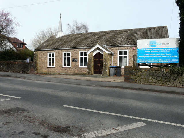
Image: © John Baker Taken: 15 Mar 2023
Planning permission has been granted by Dover District Council under application number DOV/22/01181 for a “change of use and conversion to 2 dwellings with associated parking and landscaping”.
Images are licensed for reuse under creativecommons.org/licenses/by-sa/2.0
Image Location
Latitude
51.16275
Longitude
1.246571