Path to Evenlode Way
Introduction
The photograph on this page of Path to Evenlode Way by Oscar Taylor as part of the Geograph project.
The Geograph project started in 2005 with the aim of publishing, organising and preserving representative images for every square kilometre of Great Britain, Ireland and the Isle of Man.

There are currently over 7.5m images from over 14,400 individuals and you can help contribute to the project by visiting https://www.geograph.org.uk
Path to Evenlode Way
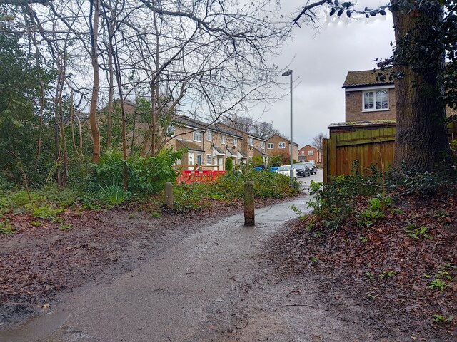
Image: © Oscar Taylor Taken: 31 Mar 2023
A path off the cycle way / path at Snaprails Park to Evenlode Way, a road between Rackstraw Road and Severn Close in Owlsmoor.
Images are licensed for reuse under creativecommons.org/licenses/by-sa/2.0
Image Location
Latitude
51.34876
Longitude
-0.790212