The Old Tollhouse, A923 Coupar Angus
Introduction
The photograph on this page of The Old Tollhouse, A923 Coupar Angus by Paul Hornby as part of the Geograph project.
The Geograph project started in 2005 with the aim of publishing, organising and preserving representative images for every square kilometre of Great Britain, Ireland and the Isle of Man.

There are currently over 7.5m images from over 14,400 individuals and you can help contribute to the project by visiting https://www.geograph.org.uk
The Old Tollhouse, A923 Coupar Angus
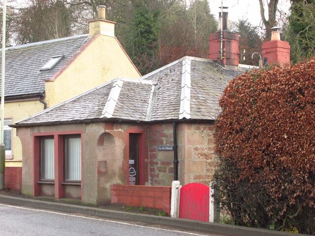
Image: © Paul Hornby Taken: 19 Mar 2023
On the South side of Blairgowrie Road. The Toll House is approximately 128 ft Above Sea Level. Originally served the Blairgowrie & Coupar-Angus Turnpike Trust. Milestone Society National ID: PK.COU
Images are licensed for reuse under creativecommons.org/licenses/by-sa/2.0
Image Location
Latitude
56.548452
Longitude
-3.277696