Hook Lane and William Bourne pub, Chessington
Introduction
The photograph on this page of Hook Lane and William Bourne pub, Chessington by Malc McDonald as part of the Geograph project.
The Geograph project started in 2005 with the aim of publishing, organising and preserving representative images for every square kilometre of Great Britain, Ireland and the Isle of Man.

There are currently over 7.5m images from over 14,400 individuals and you can help contribute to the project by visiting https://www.geograph.org.uk
Hook Lane and William Bourne pub, Chessington
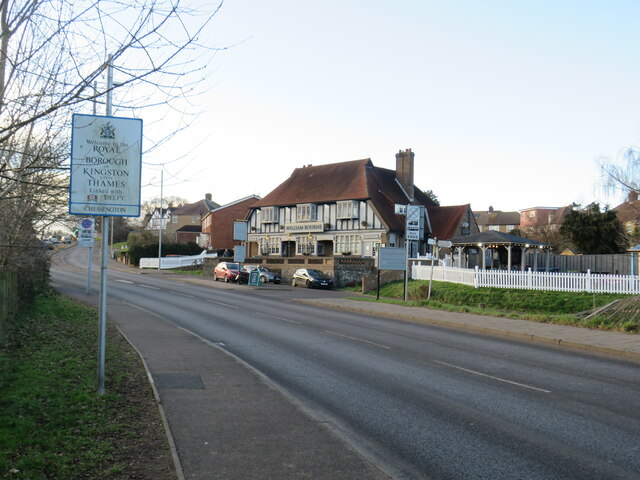
Image: © Malc McDonald Taken: 25 Feb 2023
A view along Hook Lane in Chessington, with the William Bourne pub standing on the opposite side of the road. This image was taken at the county boundary between Surrey and Greater London. The sign in the foreground indicates that you cross into the Royal Borough of Kingston-upon-Thames here, thus entering Greater London from Surrey.
Images are licensed for reuse under creativecommons.org/licenses/by-sa/2.0
Image Location
Latitude
51.362109
Longitude
-0.288561