Dirty Lane Bridge near Wheaton Aston in Staffordshire
Introduction
The photograph on this page of Dirty Lane Bridge near Wheaton Aston in Staffordshire by Roger Kidd as part of the Geograph project.
The Geograph project started in 2005 with the aim of publishing, organising and preserving representative images for every square kilometre of Great Britain, Ireland and the Isle of Man.

There are currently over 7.5m images from over 14,400 individuals and you can help contribute to the project by visiting https://www.geograph.org.uk
Dirty Lane Bridge near Wheaton Aston in Staffordshire
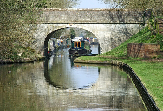
Image: © Roger Kidd Taken: 20 Apr 2013
Dirty Lane Bridge is No 20 across the Shropshire Union Canal. It used to carry an unsurfaced lane, Downford Lane to the right, and presumably Dirty Lane to the left. It now still gives access from the canal, but since land to the left was covered in housing, Long Street is preferred to Dirty Lane.
Images are licensed for reuse under creativecommons.org/licenses/by-sa/2.0
Image Location
Latitude
52.715895
Longitude
-2.218308