Bramley Avenue, Coulsdon
Introduction
The photograph on this page of Bramley Avenue, Coulsdon by Malc McDonald as part of the Geograph project.
The Geograph project started in 2005 with the aim of publishing, organising and preserving representative images for every square kilometre of Great Britain, Ireland and the Isle of Man.

There are currently over 7.5m images from over 14,400 individuals and you can help contribute to the project by visiting https://www.geograph.org.uk
Bramley Avenue, Coulsdon
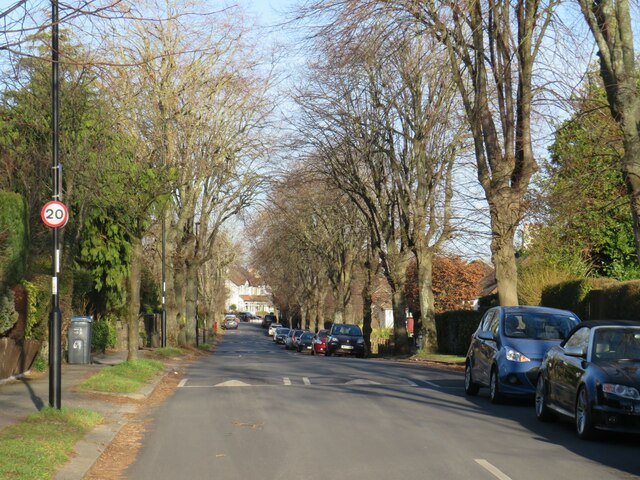
Image: © Malc McDonald Taken: 19 Feb 2023
Bramley Avenue is a tree-lined residential road in Coulsdon, in the outer suburbs of south London. A 20 mph speed limit applies, and the road has speed cushions as a traffic-calming measure. This image was taken on a February afternoon, when most of the trees were bare for the winter season.
Images are licensed for reuse under creativecommons.org/licenses/by-sa/2.0
Image Location


Leaflet Map data © OpenStreetMap
Latitude
51.322008
Longitude
-0.14711