Clawdd pridd ar rostir / Earthen bank on moorland
Introduction
The photograph on this page of Clawdd pridd ar rostir / Earthen bank on moorland by Alan Richards as part of the Geograph project.
The Geograph project started in 2005 with the aim of publishing, organising and preserving representative images for every square kilometre of Great Britain, Ireland and the Isle of Man.

There are currently over 7.5m images from over 14,400 individuals and you can help contribute to the project by visiting https://www.geograph.org.uk
Clawdd pridd ar rostir / Earthen bank on moorland
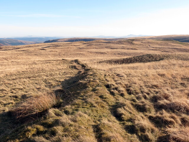
Image: © Alan Richards Taken: 14 Feb 2023
Clawdd pridd linellol ar rostir ger Blaen Nant melyn. A linear earthen bank on moorland near Blaen Nant Melyn (trans. headwater of the yellow / brown stream).
Images are licensed for reuse under creativecommons.org/licenses/by-sa/2.0
Image Location


Leaflet Map data © OpenStreetMap
Latitude
52.113534
Longitude
-3.850388