Red Road and common land
Introduction
The photograph on this page of Red Road and common land by DS Pugh as part of the Geograph project.
The Geograph project started in 2005 with the aim of publishing, organising and preserving representative images for every square kilometre of Great Britain, Ireland and the Isle of Man.

There are currently over 7.5m images from over 14,400 individuals and you can help contribute to the project by visiting https://www.geograph.org.uk
Red Road and common land
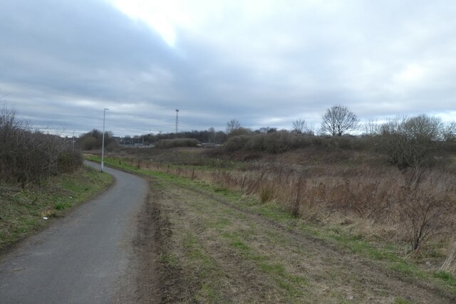
Image: © DS Pugh Taken: 11 Feb 2023
Red Road is a cycle path forming part of NCN 66 and runs between Pontefract Lane and Newmarket Lane on the southern side of Neville Hill Train depot.
Images are licensed for reuse under creativecommons.org/licenses/by-sa/2.0
Image Location
Latitude
53.789944
Longitude
-1.502398