Mynedfa i'r goedwigaeth / Access to the forestry
Introduction
The photograph on this page of Mynedfa i'r goedwigaeth / Access to the forestry by Alan Richards as part of the Geograph project.
The Geograph project started in 2005 with the aim of publishing, organising and preserving representative images for every square kilometre of Great Britain, Ireland and the Isle of Man.

There are currently over 7.5m images from over 14,400 individuals and you can help contribute to the project by visiting https://www.geograph.org.uk
Mynedfa i'r goedwigaeth / Access to the forestry
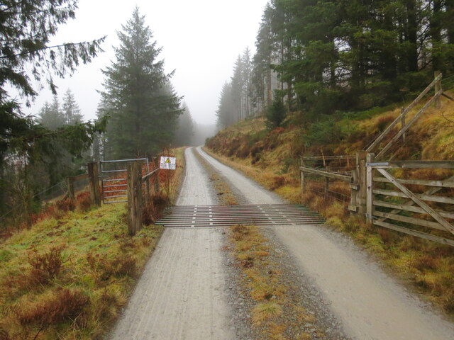
Image: © Alan Richards Taken: 10 Feb 2023
Ffordd fynedfa i'r goedwigaeth ger Craig Bwlch-y-rhiw. Access road to the forestry near Craig Bwlch-y-rhiw (trans. pass of the hill crag).
Images are licensed for reuse under creativecommons.org/licenses/by-sa/2.0
Image Location
Latitude
52.105766
Longitude
-3.875329