Housing in Westerton and beyond
Introduction
The photograph on this page of Housing in Westerton and beyond by Richard Sutcliffe as part of the Geograph project.
The Geograph project started in 2005 with the aim of publishing, organising and preserving representative images for every square kilometre of Great Britain, Ireland and the Isle of Man.

There are currently over 7.5m images from over 14,400 individuals and you can help contribute to the project by visiting https://www.geograph.org.uk
Housing in Westerton and beyond
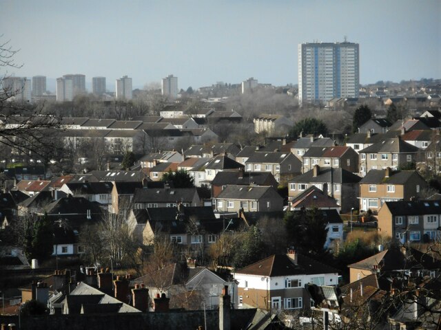
Image: © Richard Sutcliffe Taken: 9 Feb 2023
A mixture of architectural styles with semi-detached houses and terraces in the foreground in Westerton. The tower blocks on the right are in Drumchapel; the more distant ones are in Drumry, beside the A82.
Images are licensed for reuse under creativecommons.org/licenses/by-sa/2.0
Image Location
Latitude
55.907966
Longitude
-4.34355