Llwybr cyhoeddus uwchben Caio / A public footpath above Caio
Introduction
The photograph on this page of Llwybr cyhoeddus uwchben Caio / A public footpath above Caio by Alan Richards as part of the Geograph project.
The Geograph project started in 2005 with the aim of publishing, organising and preserving representative images for every square kilometre of Great Britain, Ireland and the Isle of Man.

There are currently over 7.5m images from over 14,400 individuals and you can help contribute to the project by visiting https://www.geograph.org.uk
Llwybr cyhoeddus uwchben Caio / A public footpath above Caio
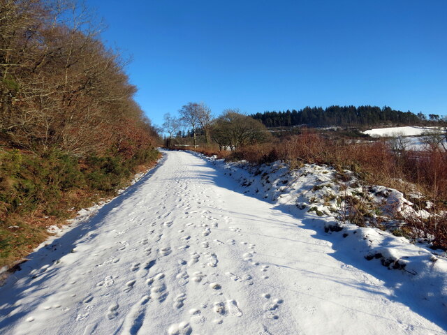
Image: © Alan Richards Taken: 20 Jan 2023
Llwybr troed cyhoeddus uwchben pentre Caio yn mynd tuag at y goedwigaeth. A public footpath above the village of Caio heading towards the forestry.
Images are licensed for reuse under creativecommons.org/licenses/by-sa/2.0
Image Location


Leaflet Map data © OpenStreetMap
Latitude
52.044664
Longitude
-3.922933