Whitehall Road, Rugby
Introduction
The photograph on this page of Whitehall Road, Rugby by Stephen McKay as part of the Geograph project.
The Geograph project started in 2005 with the aim of publishing, organising and preserving representative images for every square kilometre of Great Britain, Ireland and the Isle of Man.

There are currently over 7.5m images from over 14,400 individuals and you can help contribute to the project by visiting https://www.geograph.org.uk
Whitehall Road, Rugby
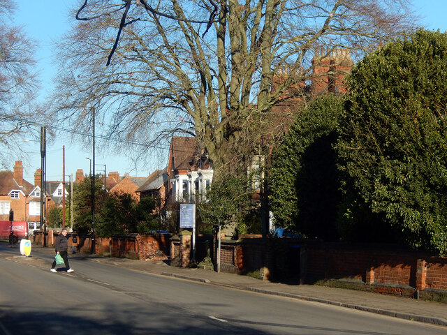
Image: © Stephen McKay Taken: 17 Jan 2023
Whitehall Road is a short street that connects Hillmorton Road with Clifton Road at the eastern end of Rugby town centre. The western side of the road abuts Lawrence Sheriff School and its staff car park; on the eastern side is a series of large villas mainly used by professional businesses - solicitors and the like.
Images are licensed for reuse under creativecommons.org/licenses/by-sa/2.0
Image Location
Latitude
52.370872
Longitude
-1.254105