Benchmark on south face of Low Moor Lodge
Introduction
The photograph on this page of Benchmark on south face of Low Moor Lodge by Roger Templeman as part of the Geograph project.
The Geograph project started in 2005 with the aim of publishing, organising and preserving representative images for every square kilometre of Great Britain, Ireland and the Isle of Man.

There are currently over 7.5m images from over 14,400 individuals and you can help contribute to the project by visiting https://www.geograph.org.uk
Benchmark on south face of Low Moor Lodge
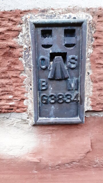
Image: © Roger Templeman Taken: 22 Dec 2022
Ordnance Survey flush bracket (serial identifier G3834) levelled at 40.382m above Newlyn Datum in 1955 and verified in 1972
Images are licensed for reuse under creativecommons.org/licenses/by-sa/2.0
Image Location
Latitude
54.914878
Longitude
-2.79142