Down the hill to Donyatt
Introduction
The photograph on this page of Down the hill to Donyatt by Neil Owen as part of the Geograph project.
The Geograph project started in 2005 with the aim of publishing, organising and preserving representative images for every square kilometre of Great Britain, Ireland and the Isle of Man.

There are currently over 7.5m images from over 14,400 individuals and you can help contribute to the project by visiting https://www.geograph.org.uk
Down the hill to Donyatt
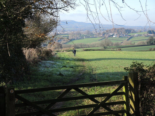
Image: © Neil Owen Taken: 9 Dec 2022
The village is linked by the footpath to Hearne Hill. It's a popular route, especially for energetic dogs.
Images are licensed for reuse under creativecommons.org/licenses/by-sa/2.0
Image Location
Latitude
50.920694
Longitude
-2.926958