Railway east of Verney Junction level crossing, 2014
Introduction
The photograph on this page of Railway east of Verney Junction level crossing, 2014 by Robin Webster as part of the Geograph project.
The Geograph project started in 2005 with the aim of publishing, organising and preserving representative images for every square kilometre of Great Britain, Ireland and the Isle of Man.

There are currently over 7.5m images from over 14,400 individuals and you can help contribute to the project by visiting https://www.geograph.org.uk
Railway east of Verney Junction level crossing, 2014
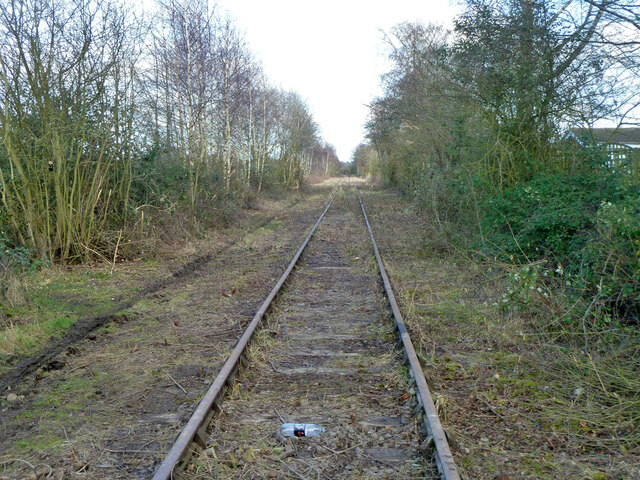
Image: © Robin Webster Taken: 22 Feb 2014
Vegetation clearance has been carried out recently on the mothballed line.
Images are licensed for reuse under creativecommons.org/licenses/by-sa/2.0
Image Location
Latitude
51.94075
Longitude
-0.926959