Gosford Lane
Introduction
The photograph on this page of Gosford Lane by John P Reeves as part of the Geograph project.
The Geograph project started in 2005 with the aim of publishing, organising and preserving representative images for every square kilometre of Great Britain, Ireland and the Isle of Man.

There are currently over 7.5m images from over 14,400 individuals and you can help contribute to the project by visiting https://www.geograph.org.uk
Gosford Lane
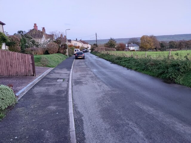
Image: © John P Reeves Taken: 24 Nov 2022
Looking east along Gosford Lane towards Taleford in between the A30 and Ottery St Mary in Devon.
Images are licensed for reuse under creativecommons.org/licenses/by-sa/2.0
Image Location
Latitude
50.766001
Longitude
-3.288609