A circular walk around Northleach [55]
Introduction
The photograph on this page of A circular walk around Northleach [55] by Michael Dibb as part of the Geograph project.
The Geograph project started in 2005 with the aim of publishing, organising and preserving representative images for every square kilometre of Great Britain, Ireland and the Isle of Man.

There are currently over 7.5m images from over 14,400 individuals and you can help contribute to the project by visiting https://www.geograph.org.uk
A circular walk around Northleach [55]
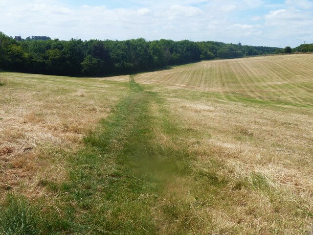
Image: © Michael Dibb Taken: 13 Jul 2022
Although not on the line of the Right of Way, there is a clear path across the field. The route heads south from Northleach before heading west to Winterwell Barn and across the Fosse Way. The way is then north towards the picturesque village of Hampnett where the route turns east to run alongside the A40 road before a turn to the south to return to Northleach. Just over 4½ miles.
Images are licensed for reuse under creativecommons.org/licenses/by-sa/2.0
Image Location
Latitude
51.834036
Longitude
-1.835091