Edge Hill inclined plane
Introduction
The photograph on this page of Edge Hill inclined plane by Bob Walters as part of the Geograph project.
The Geograph project started in 2005 with the aim of publishing, organising and preserving representative images for every square kilometre of Great Britain, Ireland and the Isle of Man.

There are currently over 7.5m images from over 14,400 individuals and you can help contribute to the project by visiting https://www.geograph.org.uk
Edge Hill inclined plane
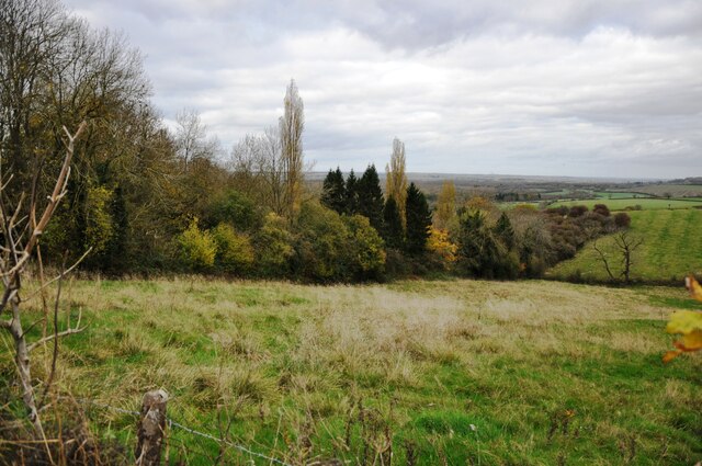
Image: © Bob Walters Taken: 11 Nov 2022
The trees mark the route of the Edge Hill Light Railway inclined plane. This was a rope-worked incline used to take wagons up and down from ironstone quarries at the top of Edge Hill to Burton Dassett sidings on the Stratford & Midland Junction Railway. The line closed almost as soon as it was opened in the 1920's due to the changes in ironstone mining after WW1. It lay dormant in a timewarp until it was dismantled in 1946.
Images are licensed for reuse under creativecommons.org/licenses/by-sa/2.0
Image Location
Latitude
52.136538
Longitude
-1.441828