Barrage stability monitoring points
Introduction
The photograph on this page of Barrage stability monitoring points by Leanmeanmo as part of the Geograph project.
The Geograph project started in 2005 with the aim of publishing, organising and preserving representative images for every square kilometre of Great Britain, Ireland and the Isle of Man.

There are currently over 7.5m images from over 14,400 individuals and you can help contribute to the project by visiting https://www.geograph.org.uk
Barrage stability monitoring points
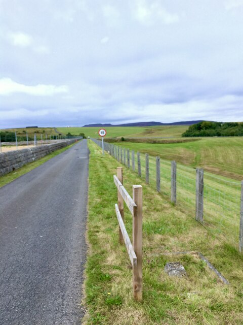
Image: © Leanmeanmo Taken: 29 Aug 2022
Rather like Fundamental Bench Marks, these datum points are used to monitor the level and stability of the dam. Five of them, regularly spaced along the parapet, are checked frequently with a high precision GPS device.
Images are licensed for reuse under creativecommons.org/licenses/by-sa/2.0
Image Location


Leaflet Map data © OpenStreetMap
Latitude
55.23748
Longitude
-1.92449