A filled fountain
Introduction
The photograph on this page of A filled fountain by Neil Owen as part of the Geograph project.
The Geograph project started in 2005 with the aim of publishing, organising and preserving representative images for every square kilometre of Great Britain, Ireland and the Isle of Man.

There are currently over 7.5m images from over 14,400 individuals and you can help contribute to the project by visiting https://www.geograph.org.uk
A filled fountain
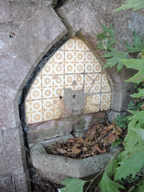
Image: © Neil Owen Taken: 16 Sep 2022
Located at the junction of the King's Drive and Rathmore Road is a public drinking fountain, which is now something of a shadow of its former self. The cracked surrounding and missing tap portray a sorry tale. See Image] for a wider look as to why the fountain is in such a neglected state.
Images are licensed for reuse under creativecommons.org/licenses/by-sa/2.0
Image Location
Latitude
50.464429
Longitude
-3.542185