Caterham
Introduction
The photograph on this page of Caterham by Peter Trimming as part of the Geograph project.
The Geograph project started in 2005 with the aim of publishing, organising and preserving representative images for every square kilometre of Great Britain, Ireland and the Isle of Man.

There are currently over 7.5m images from over 14,400 individuals and you can help contribute to the project by visiting https://www.geograph.org.uk
Caterham
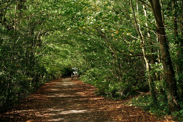
Image: © Peter Trimming Taken: 26 Oct 2022
Harestone Hill. This section of the road is designated as a public bridleway, with road access only to the houses located further along the road, behind the photographer.
Images are licensed for reuse under creativecommons.org/licenses/by-sa/2.0
Image Location
Latitude
51.271325
Longitude
-0.082342