Stoney Royd Lane, Todmorden
Introduction
The photograph on this page of Stoney Royd Lane, Todmorden by Chris Heaton as part of the Geograph project.
The Geograph project started in 2005 with the aim of publishing, organising and preserving representative images for every square kilometre of Great Britain, Ireland and the Isle of Man.

There are currently over 7.5m images from over 14,400 individuals and you can help contribute to the project by visiting https://www.geograph.org.uk
Stoney Royd Lane, Todmorden
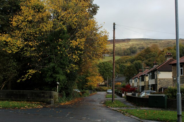
Image: © Chris Heaton Taken: 25 Oct 2022
Adopted by the Calderdale Way long distance footpath - seen here leaving Burnley Road, before a steep ascent towards Whirlow Common
Images are licensed for reuse under creativecommons.org/licenses/by-sa/2.0
Image Location
Latitude
53.723962
Longitude
-2.111959