Signboard for Taff Trail at Nantgarw
Introduction
The photograph on this page of Signboard for Taff Trail at Nantgarw by David Smith as part of the Geograph project.
The Geograph project started in 2005 with the aim of publishing, organising and preserving representative images for every square kilometre of Great Britain, Ireland and the Isle of Man.

There are currently over 7.5m images from over 14,400 individuals and you can help contribute to the project by visiting https://www.geograph.org.uk
Signboard for Taff Trail at Nantgarw
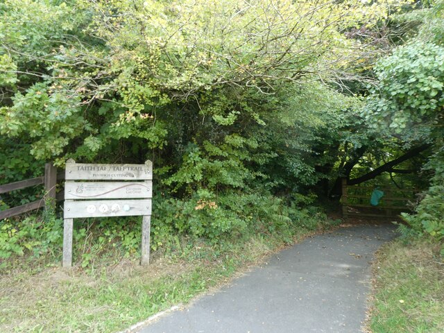
Image: © David Smith Taken: 22 Sep 2022
The Taff Trail drops through the woodlands to rejoin the former railway track. Road developments around Nantgarw mean that there is a steep descent from the signboard to that track
Images are licensed for reuse under creativecommons.org/licenses/by-sa/2.0
Image Location
Latitude
51.562402
Longitude
-3.261228