Great Thurlow: signposts, stacks and thatch
Introduction
The photograph on this page of Great Thurlow: signposts, stacks and thatch by John Sutton as part of the Geograph project.
The Geograph project started in 2005 with the aim of publishing, organising and preserving representative images for every square kilometre of Great Britain, Ireland and the Isle of Man.

There are currently over 7.5m images from over 14,400 individuals and you can help contribute to the project by visiting https://www.geograph.org.uk
Great Thurlow: signposts, stacks and thatch
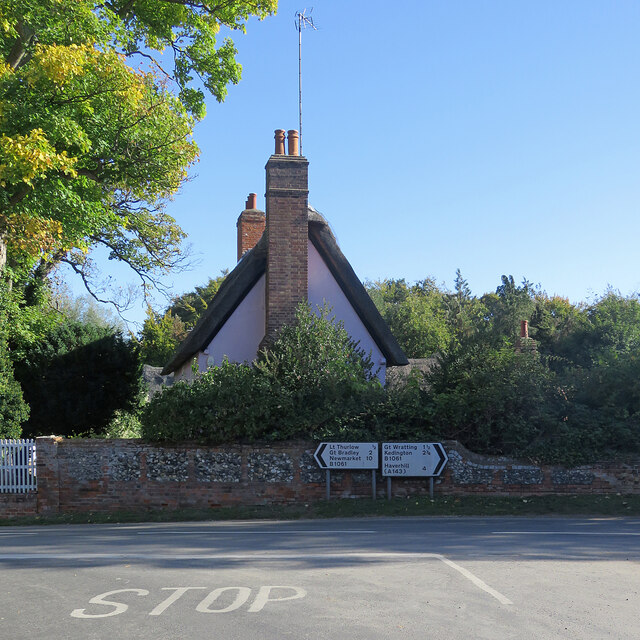
Image: © John Sutton Taken: 11 Oct 2022
This is where the road from Withersfield meets The Street (left) and Wratting Road (right). The Grade II listed thatched house dates from the 17th century.
Images are licensed for reuse under creativecommons.org/licenses/by-sa/2.0
Image Location
Latitude
52.124718
Longitude
0.450361