Rough Grazing on Division Moor
Introduction
The photograph on this page of Rough Grazing on Division Moor by Trevor Littlewood as part of the Geograph project.
The Geograph project started in 2005 with the aim of publishing, organising and preserving representative images for every square kilometre of Great Britain, Ireland and the Isle of Man.

There are currently over 7.5m images from over 14,400 individuals and you can help contribute to the project by visiting https://www.geograph.org.uk
Rough Grazing on Division Moor
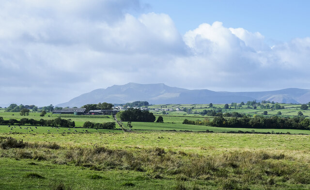
Image: © Trevor Littlewood Taken: 10 Oct 2022
The curiously named area of ground named on OS maps as Division Moor. Blencathra and other hills of the Northern Fells are in the distance.
Images are licensed for reuse under creativecommons.org/licenses/by-sa/2.0
Image Location
Latitude
54.649448
Longitude
-2.846756