Downhill towards Clyro
Introduction
The photograph on this page of Downhill towards Clyro by Gordon Hatton as part of the Geograph project.
The Geograph project started in 2005 with the aim of publishing, organising and preserving representative images for every square kilometre of Great Britain, Ireland and the Isle of Man.

There are currently over 7.5m images from over 14,400 individuals and you can help contribute to the project by visiting https://www.geograph.org.uk
Downhill towards Clyro
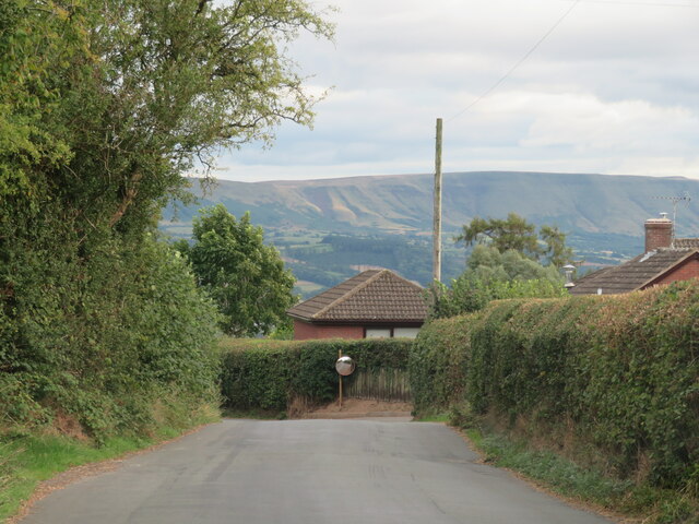
Image: © Gordon Hatton Taken: 18 Sep 2022
The Painscastle to Clyro road passing a property as it heads downhill. The northern edge of the Black Mountains in the distance.
Images are licensed for reuse under creativecommons.org/licenses/by-sa/2.0
Image Location


Leaflet Map data © OpenStreetMap
Latitude
52.086639
Longitude
-3.18868