Tidebrook House
Introduction
The photograph on this page of Tidebrook House by David M Clark as part of the Geograph project.
The Geograph project started in 2005 with the aim of publishing, organising and preserving representative images for every square kilometre of Great Britain, Ireland and the Isle of Man.

There are currently over 7.5m images from over 14,400 individuals and you can help contribute to the project by visiting https://www.geograph.org.uk
Tidebrook House
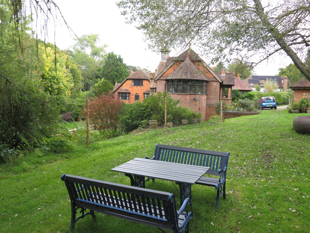
Image: © David M Clark Taken: 28 Sep 2022
The public footpath runs past these seats - are they really for the public? Tidebrook boasts a bell-tower, stained glass windows and wyverns on several ridges.
Images are licensed for reuse under creativecommons.org/licenses/by-sa/2.0
Image Location
Latitude
51.040427
Longitude
0.294409