West Loch House
Introduction
The photograph on this page of West Loch House by M J Richardson as part of the Geograph project.
The Geograph project started in 2005 with the aim of publishing, organising and preserving representative images for every square kilometre of Great Britain, Ireland and the Isle of Man.

There are currently over 7.5m images from over 14,400 individuals and you can help contribute to the project by visiting https://www.geograph.org.uk
West Loch House
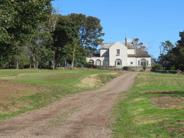
Image: © M J Richardson Taken: 13 Sep 2022
The original part of the house is thought to date back to the 16thC; it has been extensively modified and extended https://media.onthemarket.com/properties/3787006/doc_1_0.pdf.
Images are licensed for reuse under creativecommons.org/licenses/by-sa/2.0
Image Location


Leaflet Map data © OpenStreetMap
Latitude
55.907687
Longitude
-2.171605