Plaque, Church Road, Stannington
Introduction
The photograph on this page of Plaque, Church Road, Stannington by Geoff Holland as part of the Geograph project.
The Geograph project started in 2005 with the aim of publishing, organising and preserving representative images for every square kilometre of Great Britain, Ireland and the Isle of Man.

There are currently over 7.5m images from over 14,400 individuals and you can help contribute to the project by visiting https://www.geograph.org.uk
Plaque, Church Road, Stannington
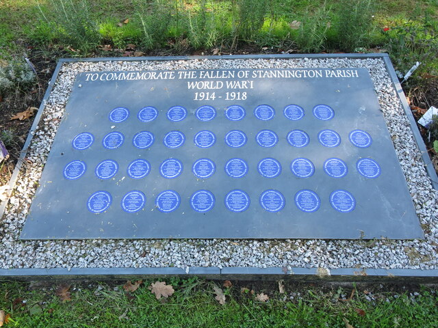
Image: © Geoff Holland Taken: 13 Sep 2022
This plaque stands on the opposite side of Church Road to the Drinking Fountain shown at https://www.geograph.org.uk/photo/7281800 which also doubles as a War Memorial.
Images are licensed for reuse under creativecommons.org/licenses/by-sa/2.0
Image Location
Latitude
55.108378
Longitude
-1.669551