Blocked road
Introduction
The photograph on this page of Blocked road by Jonathan Thacker as part of the Geograph project.
The Geograph project started in 2005 with the aim of publishing, organising and preserving representative images for every square kilometre of Great Britain, Ireland and the Isle of Man.

There are currently over 7.5m images from over 14,400 individuals and you can help contribute to the project by visiting https://www.geograph.org.uk
Blocked road
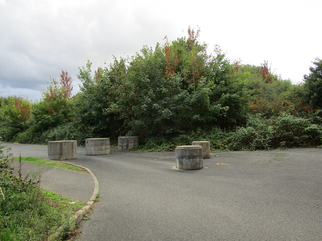
Image: © Jonathan Thacker Taken: 10 Sep 2022
The turning area at the end of this cul-de-sac has been blocked off no doubt for security reasons or to prevent fly-tipping.
Images are licensed for reuse under creativecommons.org/licenses/by-sa/2.0
Image Location


Leaflet Map data © OpenStreetMap
Latitude
52.493208
Longitude
-0.660072