Track to New Towneley Farm
Introduction
The photograph on this page of Track to New Towneley Farm by Kevin Waterhouse as part of the Geograph project.
The Geograph project started in 2005 with the aim of publishing, organising and preserving representative images for every square kilometre of Great Britain, Ireland and the Isle of Man.

There are currently over 7.5m images from over 14,400 individuals and you can help contribute to the project by visiting https://www.geograph.org.uk
Track to New Towneley Farm
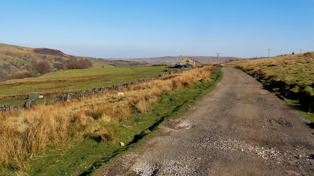
Image: © Kevin Waterhouse Taken: 19 Mar 2022
This motorable track originates at Wet Shaw and passes several farms before joining a maintained road at Sourhall
Images are licensed for reuse under creativecommons.org/licenses/by-sa/2.0
Image Location
Latitude
53.724216
Longitude
-2.127721