Not quite where I expected a train crossing
Introduction
The photograph on this page of Not quite where I expected a train crossing by Ian Paterson as part of the Geograph project.
The Geograph project started in 2005 with the aim of publishing, organising and preserving representative images for every square kilometre of Great Britain, Ireland and the Isle of Man.

There are currently over 7.5m images from over 14,400 individuals and you can help contribute to the project by visiting https://www.geograph.org.uk
Not quite where I expected a train crossing
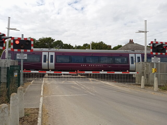
Image: © Ian Paterson Taken: 22 Aug 2022
The notice board beside the Sleaford North Level crossing reads that the O.S. Grid reference is TF 082 471, but placing the location on the Geograph map puts its position as slightly further south. The sign also reads Mileage: 63m 49ch (presumably 'chains'), but I'm not sure what the distance being measured relates to. The distance to St Neots perhaps?
Images are licensed for reuse under creativecommons.org/licenses/by-sa/2.0
Image Location
Latitude
53.010654
Longitude
-0.389517