Dam House
Introduction
The photograph on this page of Dam House by Kevin Waterhouse as part of the Geograph project.
The Geograph project started in 2005 with the aim of publishing, organising and preserving representative images for every square kilometre of Great Britain, Ireland and the Isle of Man.

There are currently over 7.5m images from over 14,400 individuals and you can help contribute to the project by visiting https://www.geograph.org.uk
Dam House
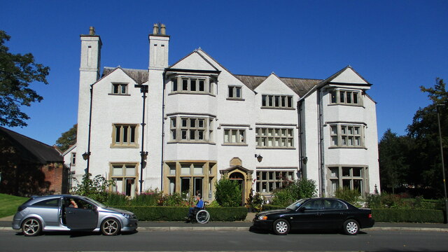
Image: © Kevin Waterhouse Taken: 21 Sep 2019
The south front of the hall (1650 datestone) much altered and latterly used by the NHS. Now in the hands of a heritage trust (MAHT)
Images are licensed for reuse under creativecommons.org/licenses/by-sa/2.0
Image Location
Latitude
53.503561
Longitude
-2.456023