Bute - Mount Stuart - Pond immediately west of house
Introduction
The photograph on this page of Bute - Mount Stuart - Pond immediately west of house by Rob Farrow as part of the Geograph project.
The Geograph project started in 2005 with the aim of publishing, organising and preserving representative images for every square kilometre of Great Britain, Ireland and the Isle of Man.

There are currently over 7.5m images from over 14,400 individuals and you can help contribute to the project by visiting https://www.geograph.org.uk
Bute - Mount Stuart - Pond immediately west of house
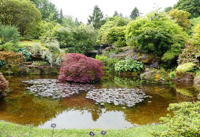
Image: © Rob Farrow Taken: 27 Jun 2022
This pond is at the base of the little hill opposite Image] being the lowest level of Image
Images are licensed for reuse under creativecommons.org/licenses/by-sa/2.0
Image Location
Latitude
55.791743
Longitude
-5.019563