Roadside gates on Lead Road
Introduction
The photograph on this page of Roadside gates on Lead Road by Robert Graham as part of the Geograph project.
The Geograph project started in 2005 with the aim of publishing, organising and preserving representative images for every square kilometre of Great Britain, Ireland and the Isle of Man.

There are currently over 7.5m images from over 14,400 individuals and you can help contribute to the project by visiting https://www.geograph.org.uk
Roadside gates on Lead Road
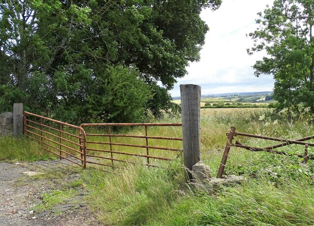
Image: © Robert Graham Taken: 4 Jul 2022
At a lay-by just south of Greenside village. This was the site of an old farm called Sealburns, which is shown on old maps up to the 1947 O S one, but is now gone.
Images are licensed for reuse under creativecommons.org/licenses/by-sa/2.0
Image Location
Latitude
54.948786
Longitude
-1.792481