Main Street, Dorrington, looking west
Introduction
The photograph on this page of Main Street, Dorrington, looking west by Christine Johnstone as part of the Geograph project.
The Geograph project started in 2005 with the aim of publishing, organising and preserving representative images for every square kilometre of Great Britain, Ireland and the Isle of Man.

There are currently over 7.5m images from over 14,400 individuals and you can help contribute to the project by visiting https://www.geograph.org.uk
Main Street, Dorrington, looking west
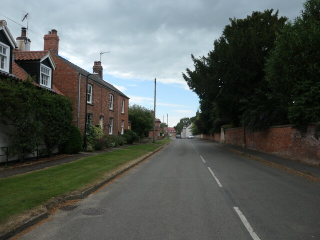
Image: © Christine Johnstone Taken: 3 Jul 2022
Dorrington is a village and parish of about 340 people in North Kesteven, Lincolnshire. Main Street runs east from the B1188 road.
Images are licensed for reuse under creativecommons.org/licenses/by-sa/2.0
Image Location


Leaflet Map data © OpenStreetMap
Latitude
53.062542
Longitude
-0.384001