Red K6 Telephone Box at Penn
Introduction
The photograph on this page of Red K6 Telephone Box at Penn by David Hillas as part of the Geograph project.
The Geograph project started in 2005 with the aim of publishing, organising and preserving representative images for every square kilometre of Great Britain, Ireland and the Isle of Man.

There are currently over 7.5m images from over 14,400 individuals and you can help contribute to the project by visiting https://www.geograph.org.uk
Red K6 Telephone Box at Penn
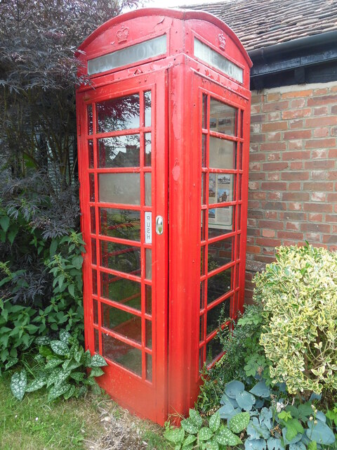
Image: © David Hillas Taken: 30 Jun 2022
This red K6 telephone box is at the corner of the B474 Church Road and Pauls Hill, but has no longer a payphone inside it. Instead, it has a map, photos and descriptions of locations in Penn Village https://www.geograph.org.uk/photo/7219831 refers. The telephone box was given Grade II listed building status in 1989.
Images are licensed for reuse under creativecommons.org/licenses/by-sa/2.0
Image Location
Latitude
51.631144
Longitude
-0.676953