Hawthorne Avenue
Introduction
The photograph on this page of Hawthorne Avenue by Z Pryce as part of the Geograph project.
The Geograph project started in 2005 with the aim of publishing, organising and preserving representative images for every square kilometre of Great Britain, Ireland and the Isle of Man.

There are currently over 7.5m images from over 14,400 individuals and you can help contribute to the project by visiting https://www.geograph.org.uk
Hawthorne Avenue
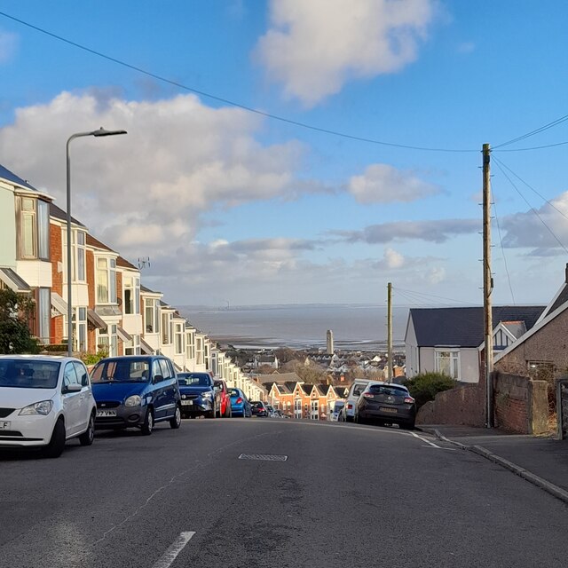
Image: © Z Pryce Taken: 4 Feb 2022
Looking down over Uplands towards the tower of the Guildhall. Smoke billowing from the Port Talbot Steelworks is visible in the distance.
Images are licensed for reuse under creativecommons.org/licenses/by-sa/2.0
Image Location
Latitude
51.619925
Longitude
-3.974116