Stafford Road near Oxley in Wolverhampton
Introduction
The photograph on this page of Stafford Road near Oxley in Wolverhampton by Roger Kidd as part of the Geograph project.
The Geograph project started in 2005 with the aim of publishing, organising and preserving representative images for every square kilometre of Great Britain, Ireland and the Isle of Man.

There are currently over 7.5m images from over 14,400 individuals and you can help contribute to the project by visiting https://www.geograph.org.uk
Stafford Road near Oxley in Wolverhampton
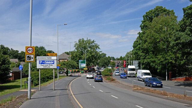
Image: © Roger Kidd Taken: 20 Jun 2022
This is the A449 Stafford Road, looking north towards Stafford from near the bridge over the canal by Lock No 15. The Wolverhampton Science Park is off to the right, but you need to do an about turn at the next roundabout (Bushbury Lane).
Images are licensed for reuse under creativecommons.org/licenses/by-sa/2.0
Image Location
Latitude
52.603294
Longitude
-2.130483