Public footpath at the northern edge of Kenfig Hill (2)
Introduction
The photograph on this page of Public footpath at the northern edge of Kenfig Hill (2) by eswales as part of the Geograph project.
The Geograph project started in 2005 with the aim of publishing, organising and preserving representative images for every square kilometre of Great Britain, Ireland and the Isle of Man.

There are currently over 7.5m images from over 14,400 individuals and you can help contribute to the project by visiting https://www.geograph.org.uk
Public footpath at the northern edge of Kenfig Hill (2)
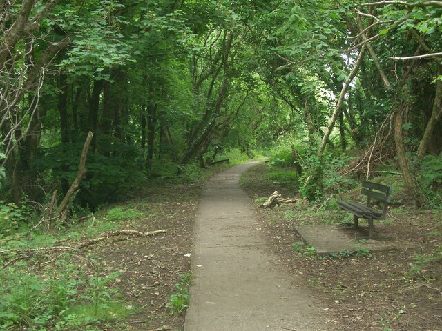
Image: © eswales Taken: 15 Jun 2022
Looking back towards the eastern end of the public footpath which runs in broadleaf woodland at the northern edge of Kenfig Hill.
Images are licensed for reuse under creativecommons.org/licenses/by-sa/2.0
Image Location
Latitude
51.535796
Longitude
-3.683099