Kidbrooke Park
Introduction
The photograph on this page of Kidbrooke Park by Simon Carey as part of the Geograph project.
The Geograph project started in 2005 with the aim of publishing, organising and preserving representative images for every square kilometre of Great Britain, Ireland and the Isle of Man.

There are currently over 7.5m images from over 14,400 individuals and you can help contribute to the project by visiting https://www.geograph.org.uk
Kidbrooke Park
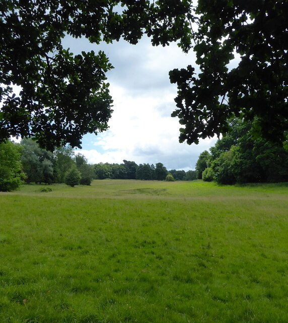
Image: © Simon Carey Taken: 12 Jun 2022
Viewed from Cowpath, the permissive footpath, that links Lewes Road, the A22, to the Michael Hall School and then Priory Road. Once part of Ashdown Forest, it was enclosed in the late 17th century and landscaped by Humphrey Repton in the 18th.
Images are licensed for reuse under creativecommons.org/licenses/by-sa/2.0
Image Location
Latitude
51.090688
Longitude
0.027561