Southbourne: Fisherman?s Avenue
Introduction
The photograph on this page of Southbourne: Fisherman?s Avenue by Chris Downer as part of the Geograph project.
The Geograph project started in 2005 with the aim of publishing, organising and preserving representative images for every square kilometre of Great Britain, Ireland and the Isle of Man.

There are currently over 7.5m images from over 14,400 individuals and you can help contribute to the project by visiting https://www.geograph.org.uk
Southbourne: Fisherman?s Avenue
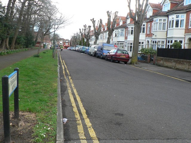
Image: © Chris Downer Taken: 9 Mar 2008
Fisherman’s Avenue contains only even numbered properties because opposite them is the public park called Image
Images are licensed for reuse under creativecommons.org/licenses/by-sa/2.0
Image Location


Leaflet Map data © OpenStreetMap
Latitude
50.72568
Longitude
-1.818038