Pharos or Upper Lighthouse Fleetwood
Introduction
The photograph on this page of Pharos or Upper Lighthouse Fleetwood by Rod Grealish as part of the Geograph project.
The Geograph project started in 2005 with the aim of publishing, organising and preserving representative images for every square kilometre of Great Britain, Ireland and the Isle of Man.

There are currently over 7.5m images from over 14,400 individuals and you can help contribute to the project by visiting https://www.geograph.org.uk
Pharos or Upper Lighthouse Fleetwood
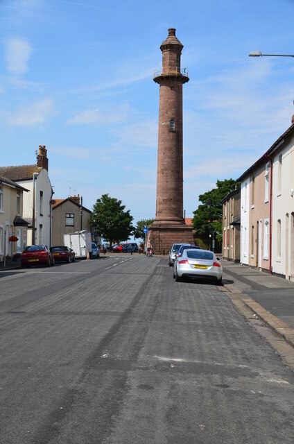
Image: © Rod Grealish Taken: 27 Jul 2018
Opened in 1840 together with the Lower Lighthouse. The lights from each lighthouse were aligned to guide boats into Fleetwood safely though the Wyre Estuary.
Images are licensed for reuse under creativecommons.org/licenses/by-sa/2.0
Image Location
Latitude
53.926417
Longitude
-3.007639