Stone Stile, Thornbury
Introduction
The photograph on this page of Stone Stile, Thornbury by Mr Red as part of the Geograph project.
The Geograph project started in 2005 with the aim of publishing, organising and preserving representative images for every square kilometre of Great Britain, Ireland and the Isle of Man.

There are currently over 7.5m images from over 14,400 individuals and you can help contribute to the project by visiting https://www.geograph.org.uk
Stone Stile, Thornbury
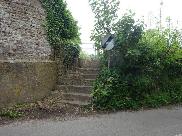
Image: © Mr Red Taken: 17 May 2022
Of Kington Lane on Gloucestershire footpath OTH/43 leading ultimately to Munday Playing Fields. The view looking back to the road is Image
Images are licensed for reuse under creativecommons.org/licenses/by-sa/2.0
Image Location


Leaflet Map data © OpenStreetMap
Latitude
51.610697
Longitude
-2.52915