Caldbeck
Introduction
The photograph on this page of Caldbeck by Adrian Taylor as part of the Geograph project.
The Geograph project started in 2005 with the aim of publishing, organising and preserving representative images for every square kilometre of Great Britain, Ireland and the Isle of Man.

There are currently over 7.5m images from over 14,400 individuals and you can help contribute to the project by visiting https://www.geograph.org.uk
Caldbeck
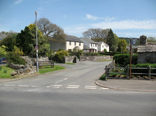
Image: © Adrian Taylor Taken: 10 May 2016
The Cumbria Way long distance path from Ulverston to Carlisle crosses the B5299 road in the foreground and continues along Friar Row (next photograph Image). The Lake District National Park boundary lies just beyond the road junction where Bowten Beck passes under the road.
Images are licensed for reuse under creativecommons.org/licenses/by-sa/2.0
Image Location
Latitude
54.749942
Longitude
-3.051945