Almost a blockage on footpath 1511
Introduction
The photograph on this page of Almost a blockage on footpath 1511 by Robin Webster as part of the Geograph project.
The Geograph project started in 2005 with the aim of publishing, organising and preserving representative images for every square kilometre of Great Britain, Ireland and the Isle of Man.

There are currently over 7.5m images from over 14,400 individuals and you can help contribute to the project by visiting https://www.geograph.org.uk
Almost a blockage on footpath 1511
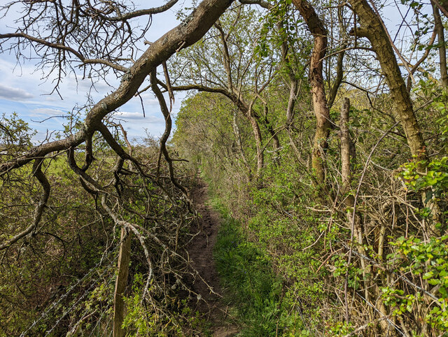
Image: © Robin Webster Taken: 18 Apr 2022
Towards Charlwood, by which time it becomes Charlwood 325 after being 325Sy for the central part passing through the area transferred from Surrey to West Sussex in the 1970s.
Images are licensed for reuse under creativecommons.org/licenses/by-sa/2.0
Image Location
Latitude
51.134964
Longitude
-0.217071